About Bajaur
A land of princely heritage, strategic geographic importance, and resilient people — nestled in the Malakand Division of Khyber Pakhtunkhwa.
From Princely State to Provincial Integration
Bajaur was historically a princely state run by the Nawab of Khar. The last and most prominent ruler was Nawab Abdul Subhan Khan, who led until 1990. District Bajaur has come under the administrative jurisdiction of the Malakand Division of Khyber Pakhtunkhwa since 1973.
For over a century, the region was governed under the British colonial-era legal framework, the Frontier Crimes Regulation (FCR-1901), later amended in 2011. It remained an Agency of the erstwhile Federally Administered Tribal Areas (FATA) until May 2018.
Following the historic 25th Constitutional Amendment, Bajaur was merged into Khyber Pakhtunkhwa as a tribal district, bringing its people into the mainstream constitutional, judicial, and democratic fold of Pakistan.
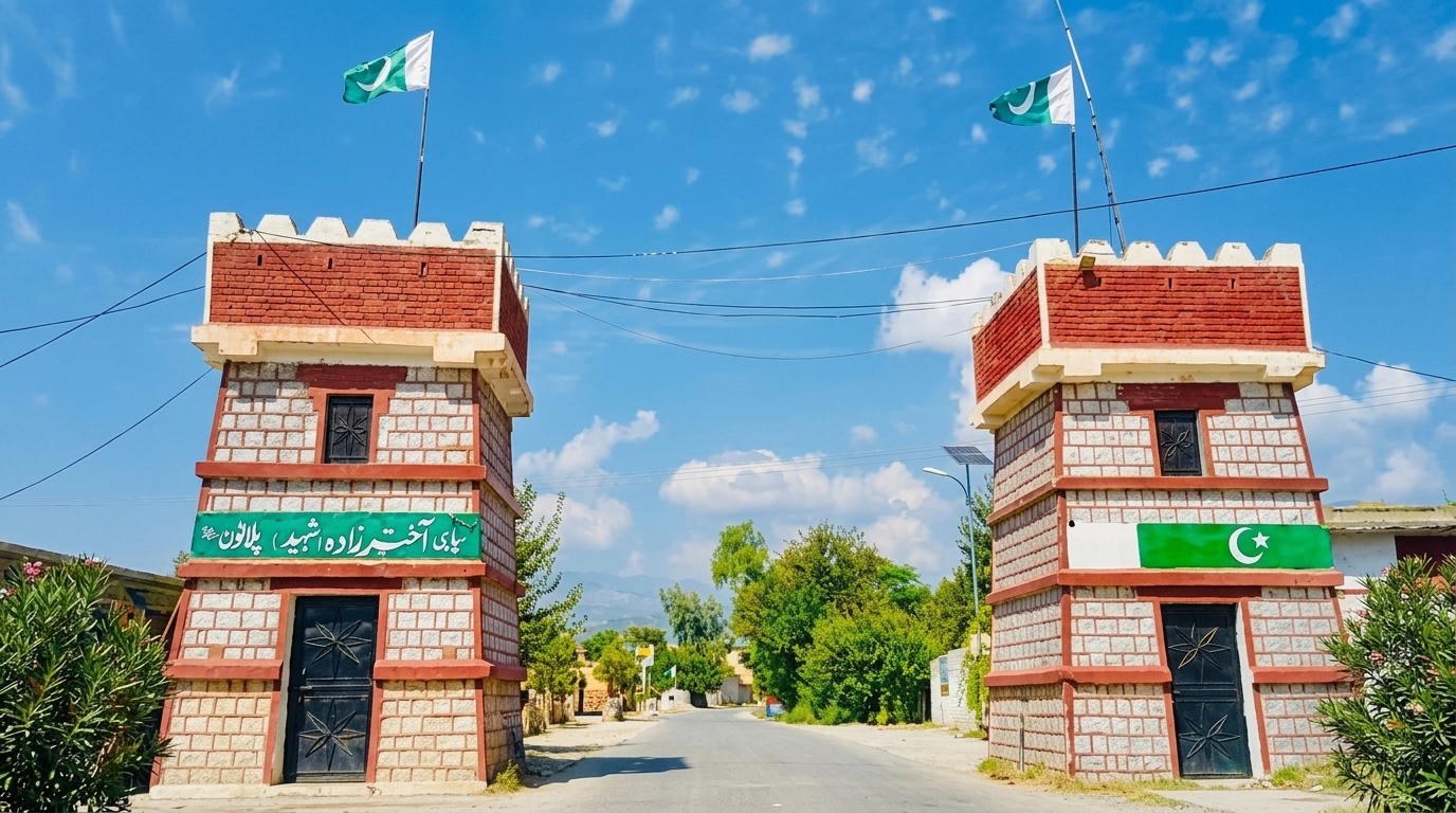
Topography & Land Utilization
Geographical composition and environmental distribution across the 1,290 km² expanse of Bajaur.
Plain & Agricultural Land
Fertile agricultural terrain where major crops and horticulture are cultivated, and where the primary residential settlements and housing are constructed.
Hilly & Forested Terrain
Rugged mountain topography enriched with government plantations established by the Forest Department, as well as pristine natural forests in the Salarzai region.
Rivers & Water Channels
Local rivers, tributaries, and natural drainage streams crisscrossing the valleys, providing essential irrigation and groundwater replenishment.
Borders & Strategic Location
District Bajaur is uniquely positioned in north-western Pakistan, bordering vital tribal districts and international frontiers.
52 km demarcated international boundary along the western ridge.
Shared border with the neighbouring tribal district of Mohmand.
Connected to Lower Dir, providing vital roadway and trade connectivity.
Administrative Setup & Hierarchy
Governance structure of the District Administration in Bajaur.
Head of District Administration and Chief Executive Officer.
Overseeing General administration and Finance & Planning.
Assistant Commissioner Khar and Assistant Commissioner Nawagai.
Along with Sub-Tehsildars, Naib Tehsildars, and field staff.